Loading scan0

sizeless

No surveyor. No special hardware. No weeks of drawing work.

Your crew films the open trench. Within 72 hours you have the 3D model, the drawings and the quantities for billing. 

Backed by
  • Y Combinator
  • NVIDIAInception Program
  • Google for Startups
  • Founders ofAgile Robots

Capture.

One person, one smartphone, about ten minutes per trench.

Detect.

Every pipe in the scan is found and labeled with type, diameter, material and position. The crew can add voice notes on the spot.

Model.

sizeless builds a centimeter-accurate 3D model of the trench, its pipes and fittings.

Integrate.

As-built drawings, quantities and GIS data flow straight into your billing and network map.
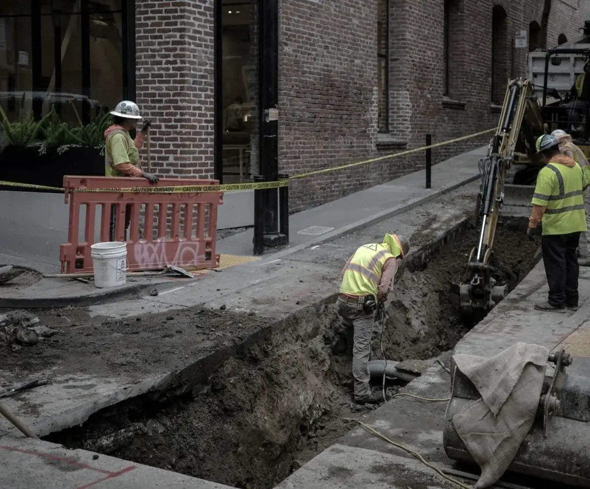
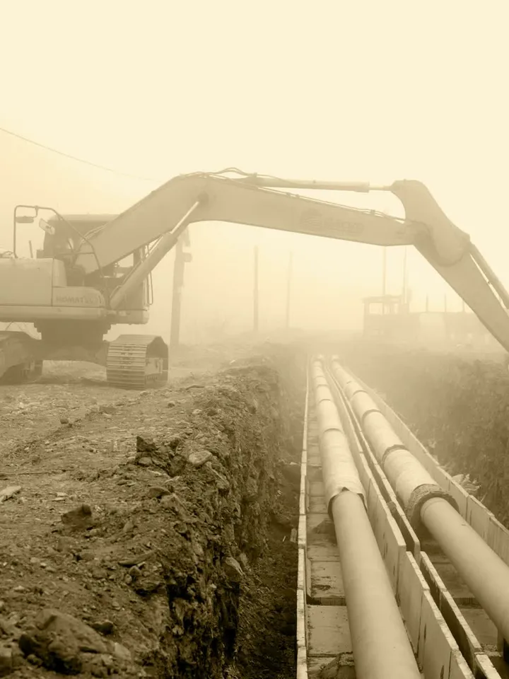
A crew of four and an excavator around an open trench in a city street
The problem

Maps went digital. Measuring is still done manually.

For contractors
  • Measuring needs a specialist. Every step means coordination, waiting and another site visit.
  • No measurements, no invoice. You pre-finance finished work for months.
  • Photos don’t prove how deep you dug. Every claim for extra work means months of back-and-forth.
For utilities
  • Contractor, surveyor, engineering firm. Every handoff adds cost and errors.
  • As-built drawings arrive months late. Your GIS is never up to date.
  • Not measured before backfill? Then it’s lost for decades.
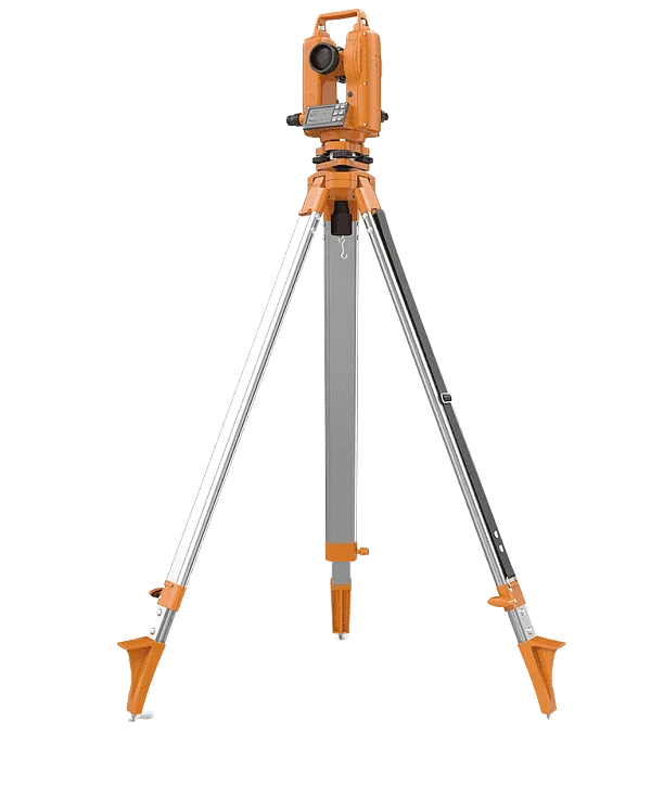
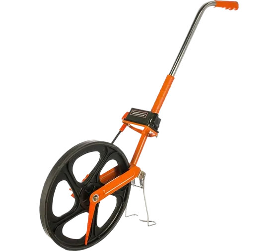
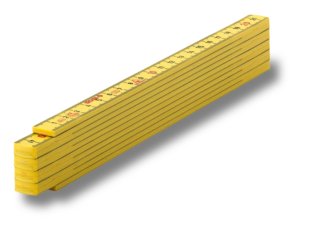
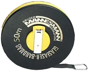
What measuring looks like today
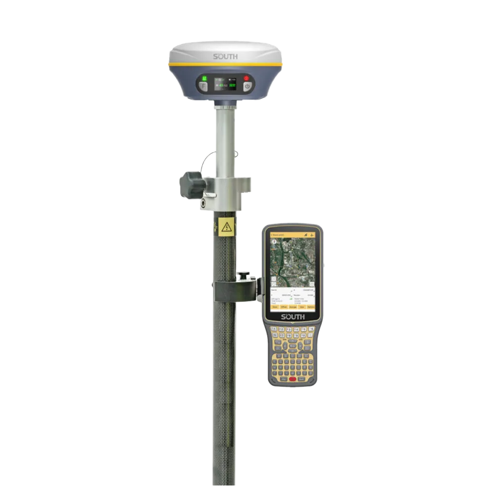
  • GNSS rover
  • Total station
  • Measuring wheel
  • Folding rule
  • Tape
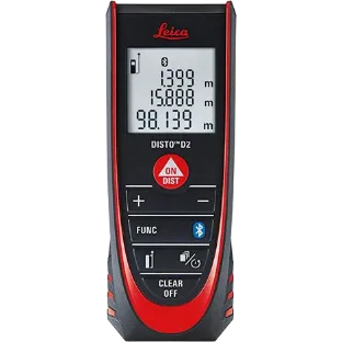
  • Laser meter
The solution

Turn a phone video into survey-grade 3D records.

One person films the trench. sizeless automates the rest.

  1. Capture

    One person, one smartphone, about ten minutes per trench.

  2. Detect

    Every pipe in the scan is found and labeled with type, diameter, material and position. The crew can add voice notes on the spot.

  3. Model

    sizeless builds a centimeter-accurate 3D model of the trench, its pipes and fittings.

  4. Integrate

    As-built drawings, quantities and GIS data flow straight into your billing and network map.
72 h
from scan to results
1 visit
instead of repeat visits
7 mm
difference to a professional survey
Technology

Built on a decade of robotics and physics research. 

  • Proprietary SLAM engine

    Survey-grade 3D from a single recording, no extra hardware.

    3D reconstruction
  • Semantic layer

    Recognizes type, material and connections of every pipe.

    Recognition
  • Conversational AI

    Voice notes from the crew are linked to the scan.

    Context

Work

With whom we work

Civil engineering firms, district heating operators and utilities document their sites with sizeless.

  • Prantl RoppenPrantl Roppen

    Earthworks and pipelines

  • KlieweKliewe

    Pipeline construction

  • PfaffingerPfaffinger

    Network construction

  • FUG Fernwärme UlmFUG Fernwärme Ulm

    District heating

  • Hamburger EnergiewerkeHamburger Energiewerke

    Energy utility

  • IEP Innovative Energie PullachIEP Innovative Energie Pullach

    Geothermal district heating

  • Geothermie UnterhachingGeothermie Unterhaching

    Geothermal district heating

All it takes is a smartphone: capture the site as-is. No equipment, no scheduling with a surveyor.

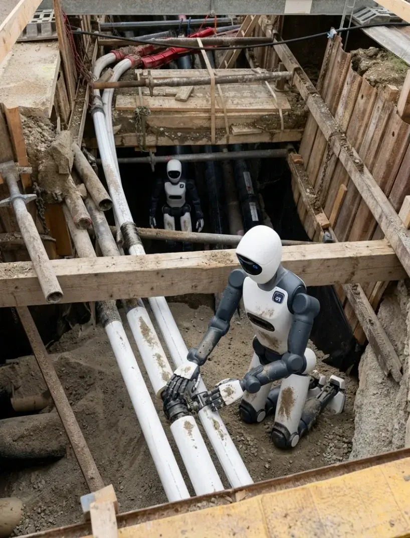
A humanoid robot working on a pipe inside an open trench
Vision

For crews today. For humanoid robots tomorrow.

Construction productivity has barely moved in decades. Here is how we want to change that. 

Read the vision

Team

Built on research. Proven in the trench.

Robotics and physics research from Zurich to Berkeley, shaped every day by the crews who use it.

  • Cornelius von Einem
    Cornelius von EinemCo-Founder & CTO

    PhD in Robotics & Computer Vision, ETH Zurich.

  • Julius Schilling
    Julius SchillingCo-Founder & CEO

    Former Chief of Staff to the CEO of Aon.

  • Roger Belsunce
    Roger BelsunceCo-Founder & Academic Advisor

    PhD in astrophysics, University of Cambridge. Postdocs at UC Berkeley and MIT.